⏳ SHIFTING THE FRAME · REVERSE ZOOM
The Deep History Time Machine
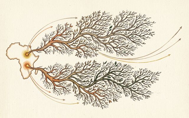
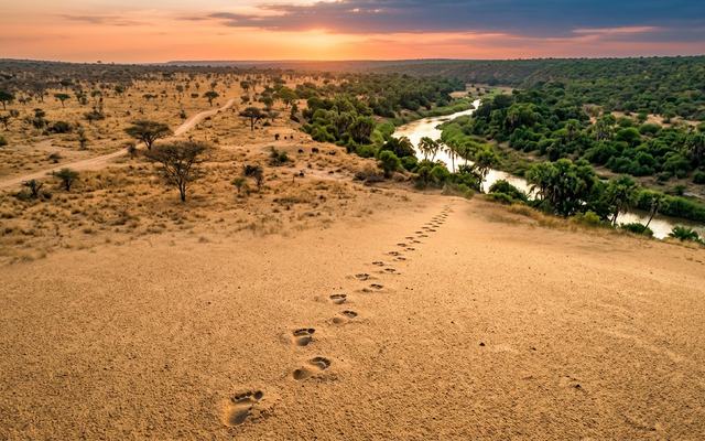
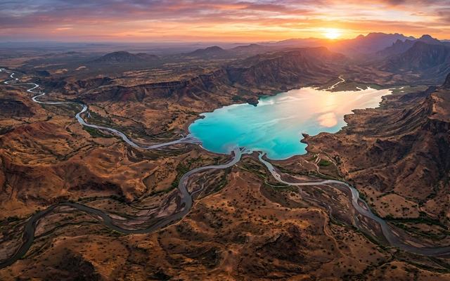
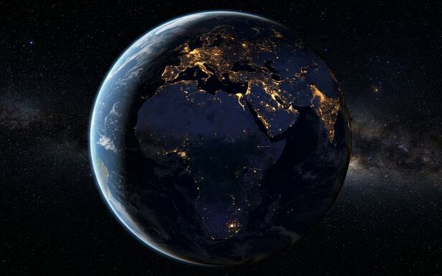
Rewind 300,000 years and the modern world strips away layer by layer: political borders first, then city lights, then farms, then monuments. Then the map starts to fill with something older: a single species walking out of Africa. Nations and flags are recent paint over a continuous canvas that began in one place.
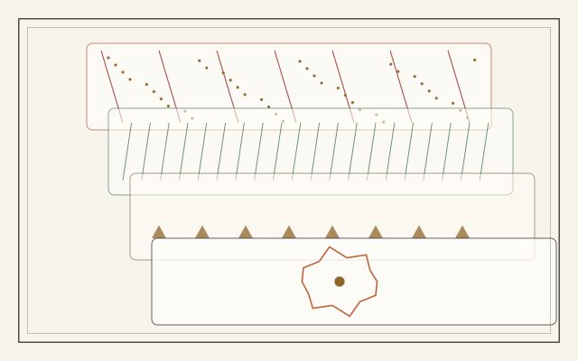
0 years ago — the canvas, repainted
Click any layer to jump to the moment it was gone.
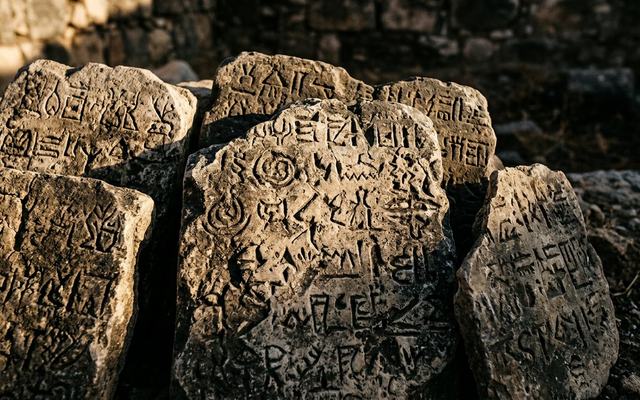
Border age: Treaty of Westphalia 1648 and the modern UN list (195 states). Urban share ~56% (UN, 2018). Farmed land ~38% (FAO). First cities ~6 kyr (Uruk); agriculture ~12 kyr; writing ~5.5 kyr. Population curve is order-of-magnitude (McEvedy & Jones / HYDE-shaped). Dispersal arrows are schematic routes, not reconstructed paths; dates follow the footsteps dataset.