🗺️ PERSPECTIVE · THE ERASURE OF BORDERS
The Erasure of Borders
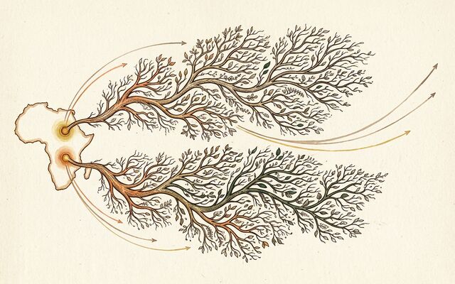
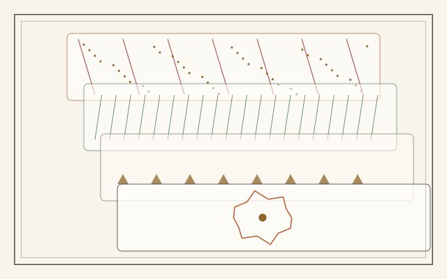
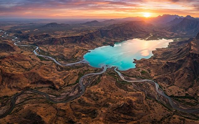
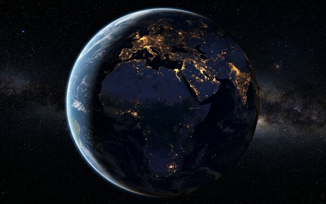
Scroll slowly. The modern map of lit cities and drawn lines peels away layer by layer: trade roads and kingdoms, then the megafauna and migration paths of the deep past, until only a starlit Africa remains as the maternal core.
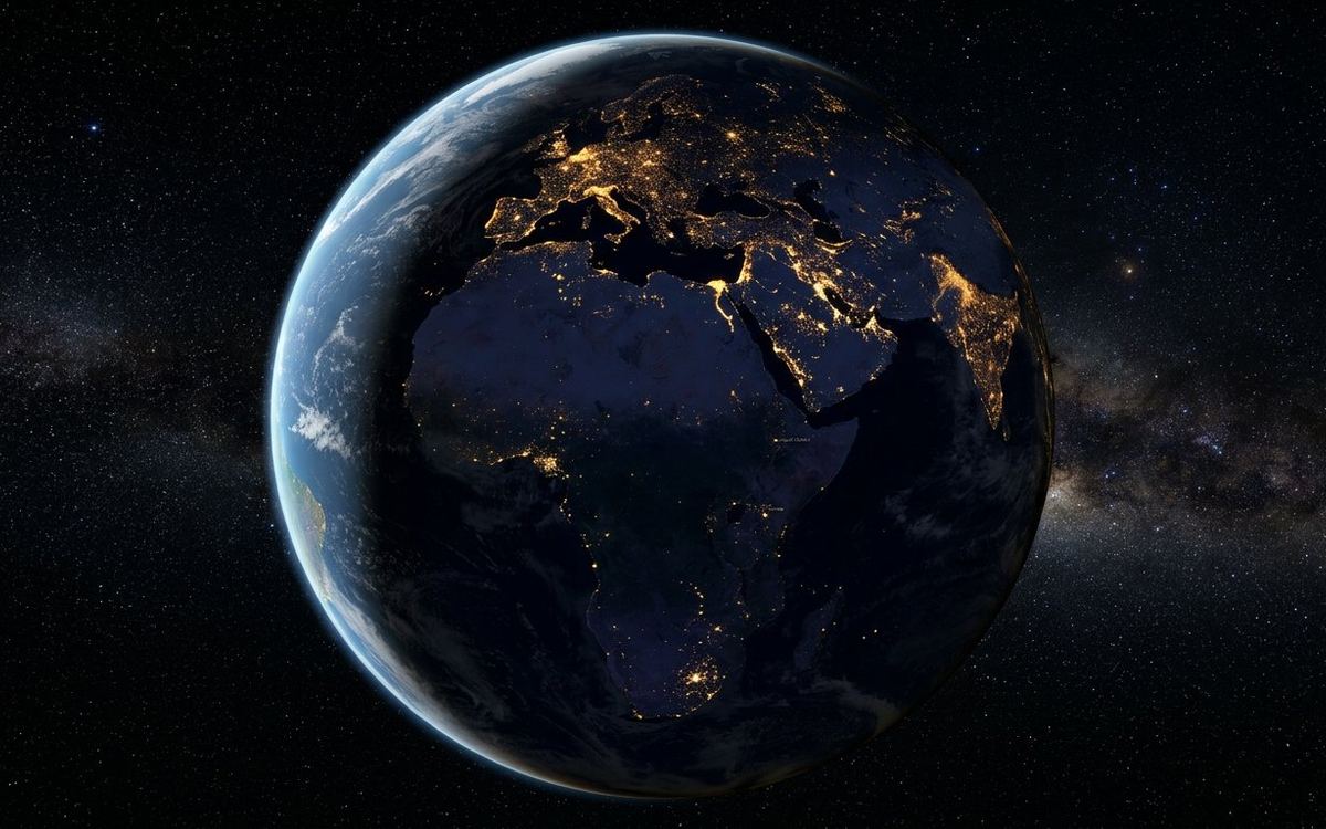
Layer 1 · Modern map
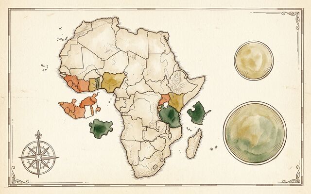
Layer 1 draws coastlines and cities from the dataset; the dataset has no political border lines, so the borders are shown as the coastlines they are drawn along. Trade routes are illustrative arcs between listed cities. Megafauna ranges are approximate and drawn for scale. The dissolve is a visual metaphor for how recent these lines are, not a claim about any particular boundary.